๐Ÿ‡ฟ๐Ÿ‡ฒ Zambia

GPS Fleet Tracking in Zambia

Real-time vehicle tracking for Zambia's mining operators, logistics companies, agricultural businesses, and NGO fleets across Lusaka, the Copperbelt, and major transit corridors.

GPS Fleet Tracking in Zambia

Zambia sits at the heart of southern and central Africa's transit network. Landlocked and bordered by eight countries, Zambia's road freight sector is critical โ€” not only for its own copper, cobalt, and agricultural exports, but as a transit corridor for goods moving between Dar es Salaam, Durban, and the DRC's mining provinces. The TAZARA corridor, the Great North Road to Tanzania, and the route south through Zimbabwe to Beit Bridge are among Africa's most important commercial freight arteries.
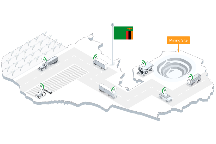
Zambia's Copperbelt โ€” centred on Kitwe, Ndola, and Chingola โ€” generates some of the continent's heaviest industrial vehicle traffic, with mining contractors, fuel tankers, and equipment hauliers operating around the clock. In parallel, Zambia's agricultural heartlands in Central, Eastern, and Southern provinces depend on reliable transport for maize, tobacco, and cotton logistics. Tracksha delivers the GPS tracking and fleet management tools Zambian operators need across mining, agriculture, transit logistics, and NGO operations.

GPS fleet tracking in Zambia

Fleet Challenges in Zambia

Understanding the unique operating environment helps us serve Zambia's fleet operators better.

Copperbelt Mining Site Fleet ControlZambia's copper and cobalt mines require strict vehicle access management for contractor compliance and site safety. Tracksha's geofencing tracks every vehicle's entry and exit at mine sites, generating audit logs and after-hours breach alerts for site managers.
Long Transit Corridor ManagementRoutes from Lusaka to Dar es Salaam (via TAZARA) or south to Durban span over 2,000km. Managing driver behaviour, fuel consumption, and cargo security across these distances requires end-to-end live visibility โ€” which Tracksha provides.
Agricultural Produce LogisticsZambia's maize, tobacco, and cotton harvest seasons create intense logistics demand in rural areas. Tracksha's Places (POI) feature tracks collection vehicles at buying points and depot locations โ€” generating harvest season collection compliance reports.
Fuel Management on Remote RoutesLong Zambian routes pass through remote stretches with limited fuel infrastructure. Tracksha's fuel monitoring analytics help fleet managers plan fuel consumption, detect pilferage, and identify vehicles with unusually high consumption.
Road Condition & Vehicle MaintenanceZambia's road network varies significantly in quality โ€” paved highways in some areas, unsealed roads in rural and mining districts. Tracksha's mileage and trip data support maintenance scheduling to prevent breakdowns on remote routes.
NGO Fleet AccountabilityZambia hosts significant UNHCR, WFP, and NGO operations โ€” especially relating to refugee settlements and rural health programmes. Tracksha's exportable vehicle usage reports meet donor accountability standards for humanitarian fleet management.

How Tracksha Powers Zambian Fleet Operations

Real-time visibility, fuel control, and compliance tools built for the realities of operating in Zambia.

Copperbelt Mine Geofencing & Access ControlSet precise geofences around mine entrances, contractor staging areas, and restricted zones across the Copperbelt. Tracksha records every vehicle's entry and exit โ€” providing the audit trail mining compliance and site safety teams require.
Trans-Africa Corridor Live TrackingTrack vehicles in real time on Zambia's critical transit corridors โ€” Lusaka to Dar es Salaam, to Durban, to Beit Bridge, or into DRC. Tracksha provides live position, speed, and stop data for every vehicle across Zambia's longest freight routes.
Agricultural Collection POI ReportsDefine grain depots, tobacco buying centres, and cotton collection points as Places in Tracksha. Track vehicle collection visits automatically and generate harvest season compliance reports for agri-logistics operators.
Fuel Monitoring & Cost ControlConnect compatible fuel sensors to monitor tank levels, fill-up events, and consumption per trip. Sudden drops trigger alerts, and idle time reports identify vehicles wasting fuel on long-distance or mine-site operations.
NGO & Humanitarian Vehicle ReportingExport trip logs, mileage data, and driver activity reports in standard formats for UNHCR, WFP, bilateral donor, and INGO accountability requirements โ€” directly from the Tracksha dashboard.
Driver Behaviour on Long-Distance RoutesMonitor speeding, harsh braking, and fatigue-related extended stops on Zambia's long-haul corridors. Tracksha's driver scorecards give fleet managers the data to manage driver performance and reduce accident risk.

Industries We Serve in Zambia

Copper & Cobalt MiningTransit Corridor LogisticsAgriculture & Grain LogisticsNGO & Humanitarian VehiclesFuel & Petroleum TransportConstruction & InfrastructurePassenger & Intercity TransportGovernment & Public Sector Fleet

Why Zambian Fleet Operators Trust Tracksha

Beyond standard GPS tracking โ€” Tracksha brings unique capabilities built for the real-world needs of fleet operators across industries and geographies.

Works with Any Compatible GPS DeviceTracksha is a software platform โ€” not hardware. Connect any standard GPS tracking device from the market. No proprietary lock-in; use your existing devices or choose freely.
Places โ€” POI-Based Service TrackingDefine service points on the map: dairy collection centres, waste bins, fuel stations, delivery stops, or farm check-in points. Track visit status live and generate collection reports automatically.
Farm Auto Area MeasurementAutomatically calculate the area covered by field vehicles โ€” perfect for plantation operators, agricultural contractors, and dairy collection route management without manual measurement.
Waste Collection ManagementTrack dustbin and skip collection routes with POI-based status updates. Managers see at a glance which bins are collected, pending, or skipped โ€” complete with detailed daily reports.
Easy-to-Use Mobile & Web InterfaceA clean, intuitive interface designed for fleet managers in the field and in the office. Full dashboard access from any Android, iOS, or browser โ€” no training required.
Reliable, High-Performance PlatformTracksha is built for large fleet deployments with consistent server performance. Thousands of vehicles update in real time simultaneously without lag.
Continuously Growing Feature SetTracksha actively develops new capabilities for global fleet needs โ€” industry-specific features, new report types, and custom integrations. Your feedback directly shapes the platform roadmap.

Frequently Asked Questions โ€” Zambia

Common questions from fleet operators in Zambia.

Can Tracksha manage contractor vehicles at Zambia's copper mines?

Yes. Tracksha's geofencing is used at mining sites across Africa. You can define access zones for each mine site, track contractor vehicle entries and exits, receive after-hours alerts, and export access logs for mining compliance and safety reporting.

Does Tracksha work on Zambia's long transit corridor routes?

Yes. Tracksha tracks vehicles across any geography. The full Lusakaโ€“Dar es Salaam and Lusakaโ€“Durban corridors are covered in real time, with live vehicle position, speed, and stop data accessible from your Tracksha dashboard.

How does Tracksha support agricultural logistics during Zambia's harvest season?

Tracksha's Places (POI) feature lets you mark buying centres and depot locations as named points. The platform automatically tracks vehicle collection visits and generates daily compliance reports โ€” helping agri-logistics managers control vehicle activity during intensive harvest periods.

Is Tracksha suitable for NGO vehicles operating in Zambia?

Yes. NGOs use Tracksha across southern Africa for donor-compliant vehicle reporting. Exportable trip logs, mileage summaries, and driver activity data meet UNHCR, WFP, and bilateral donor accountability requirements.

Does Tracksha work in Zambia's remote mining districts and rural areas?

Compatible GPS devices used with Tracksha support multi-network SIM and offline data buffering. Vehicles in remote Copperbelt districts or rural farming areas store location data locally and sync when connectivity is restored.

What GPS devices work with Tracksha in Zambia?

Tracksha is a software platform compatible with a wide range of GPS devices available in southern and central Africa. Contact the Tracksha team to confirm compatibility with your existing hardware.

Start Tracking Your Fleet in Zambia

Join fleet operators across Zambia who trust Tracksha for real-time GPS tracking, fuel monitoring, and driver safety.