Real-time GPS fleet tracking for Tanzania's port logistics, mining operations, safari tourism, and cross-border transport businesses in Dar es Salaam and beyond.
Tanzania sits at the heart of East and Central Africa's logistics network. Dar es Salaam — Tanzania's commercial capital — handles billions of dollars of freight annually for landlocked neighbours including the Democratic Republic of Congo, Zambia, Malawi, Rwanda, Burundi, and Uganda. The Central Corridor, stretching over 2,000 kilometres from Dar es Salaam through Dodoma to Kigali and Bujumbura, is one of Africa's most important freight arteries — and one of its most demanding for fleet operators.
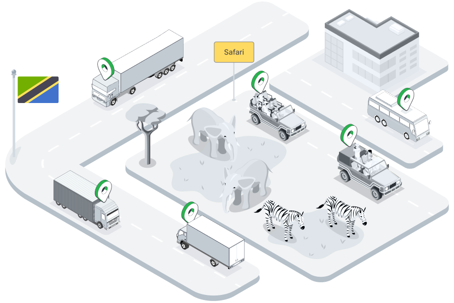
Beyond freight, Tanzania hosts one of the world's most active safari tourism industries. Arusha and Moshi are gateways to Serengeti, Ngorongoro, and Kilimanjaro — with hundreds of safari vehicles, tour buses, and Land Cruisers operating daily across the northern circuit. Tracksha brings GPS tracking and fleet management to Tanzania's logistics companies, mining operators, safari outfitters, NGO vehicle fleets, and public transport providers — all from a single cloud-based platform.
Understanding the unique operating environment helps us serve Tanzania's fleet operators better.
Real-time visibility, fuel control, and compliance tools built for the realities of operating in Tanzania.
Beyond standard GPS tracking — Tracksha brings unique capabilities built for the real-world needs of fleet operators across industries and geographies.
Common questions from fleet operators in Tanzania.
Yes. Tracksha tracks vehicles based on GPS data from the device — there are no geographic boundaries on the software side. Vehicles operating on cross-border routes into Zambia, DRC, Rwanda, or Uganda are fully visible on your Tracksha dashboard.
Absolutely. Safari operators use Tracksha to track Land Cruisers and tour buses across game parks, monitor driver speed compliance, and generate trip logs for insurance and licensing purposes. It also provides peace of mind for guests and operators in remote areas.
Tracksha's Places (POI) feature allows you to mark port gates, weighbridge points, and inland container depots. You can then track vehicle visit compliance, measure dwell times, and generate port turnaround reports automatically.
Yes. Tracksha's trip history, mileage, and driver activity reports can be exported in standard formats suitable for donor vehicle usage documentation. Many NGOs and UN agencies operating in East Africa use GPS tracking specifically to meet vehicle accountability requirements.
Compatible GPS devices work with multi-network SIM cards and support offline data buffering — storing location data locally and syncing when a signal is available. This makes Tracksha reliable even in the remote northern circuit or mining regions of western Tanzania.
Tracksha works with a wide range of standard GPS tracking devices available in the East African market. Contact the Tracksha team to confirm whether your existing hardware is compatible before investing in new devices.
Join fleet operators across Tanzania who trust Tracksha for real-time GPS tracking, fuel monitoring, and driver safety.