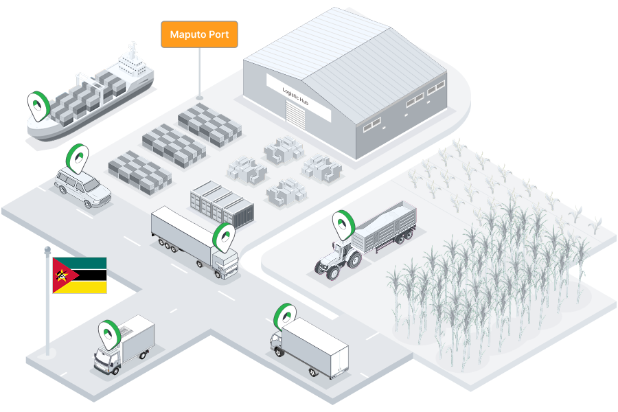
Real-time vehicle tracking for Mozambique's port logistics, mining operators, agricultural businesses, and NGO fleets across Maputo, Beira, and the regional corridors.
Mozambique's geography gives it a unique role in southern and central Africa's logistics network. With over 2,700km of Indian Ocean coastline and major deep-water ports at Maputo, Beira, and Nacala, Mozambique serves as the maritime gateway for landlocked neighbours including Zimbabwe, Zambia, Malawi, and DRC. The Maputo Corridor to South Africa and Swaziland, the Beira Corridor to Zimbabwe and Zambia, and the Nacala Corridor to Malawi and Zambia are critical trade arteries serviced by Mozambican logistics operators.
Beyond transit logistics, Mozambique has significant natural resources — natural gas in Cabo Delgado, coal in Tete province, and agricultural exports including sugar, tobacco, and cashew — all requiring substantial fleet operations. The country also hosts a large NGO and humanitarian presence responding to natural disasters and supporting rural development programmes. Tracksha provides Mozambican fleet operators with the GPS tracking, geofencing, and reporting capabilities to manage vehicles across this vast, diverse, and strategically vital operating environment.
Understanding the unique operating environment helps us serve Mozambique's fleet operators better.
Real-time visibility, fuel control, and compliance tools built for the realities of operating in Mozambique.
Beyond standard GPS tracking — Tracksha brings unique capabilities built for the real-world needs of fleet operators across industries and geographies.
Common questions from fleet operators in Mozambique.
Yes. Tracksha tracks vehicles across any geography. You can define port gates and transit checkpoints across Maputo, Beira, and Nacala as Places — the platform logs vehicle arrivals and dwell times automatically, giving corridor logistics managers precise transit performance data.
Tracksha's geofencing lets you define access zones around LNG project sites and mining concessions. The platform records every vehicle entry and exit, provides after-hours breach alerts, and generates audit logs for resource sector compliance and security reporting.
Yes. During cyclone and flood emergencies, Tracksha's live tracking gives humanitarian logistics coordinators real-time visibility of every vehicle's position. This supports faster response, safer vehicle routing around affected areas, and post-event reporting.
Compatible GPS devices used with Tracksha support multi-network SIM and offline data buffering. Vehicles in Cabo Delgado, Niassa, or Tete store location data when network coverage is limited and sync to the platform when connectivity is restored.
Yes. International organisations use Tracksha across southern Africa for donor-compliant vehicle reporting. Exportable trip logs, mileage summaries, and driver activity data meet UNHCR, WFP, and INGO accountability requirements.
Tracksha is a software platform compatible with a wide range of standard GPS devices available in southern Africa. Contact the Tracksha team to confirm compatibility with your existing hardware before purchasing new devices.
Join fleet operators across Mozambique who trust Tracksha for real-time GPS tracking, fuel monitoring, and driver safety.