Real-time vehicle tracking and fleet management for Ghana's mining, logistics, agriculture, and passenger transport businesses across Accra, Kumasi, and the Western Region.
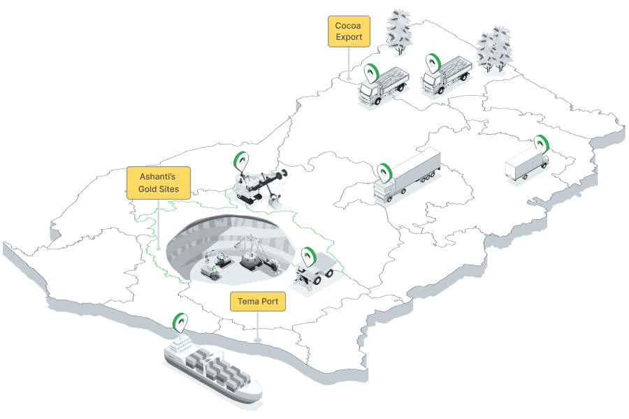
Ghana is one of West Africa's most stable and business-friendly economies, underpinned by gold and cocoa exports, a growing oil sector, and one of Africa's better-developed road networks. Tema Port — Ghana's primary deep-water facility east of Accra — feeds a road freight network connecting the capital to Kumasi in the Ashanti Region, the cocoa farming heartlands of Western and Brong-Ahafo regions, and northwards to the landlocked markets of Burkina Faso and Mali.
Fleet operators in Ghana span a wide range of sectors: mining contractors at Newmont and AngloGold Ashanti's gold sites, agricultural logistics companies moving cocoa and palm oil to ports and processors, FMCG distributors serving Accra's growing middle class, inter-city bus operators on the Accra–Kumasi corridor, and NGO vehicle fleets supporting development programmes across all sixteen regions. Tracksha provides the GPS tracking platform, smart alerts, and reporting tools Ghanaian operators need to run safe, efficient, and accountable fleets.
Understanding the unique operating environment helps us serve Ghana's fleet operators better.
Real-time visibility, fuel control, and compliance tools built for the realities of operating in Ghana.
Beyond standard GPS tracking — Tracksha brings unique capabilities built for the real-world needs of fleet operators across industries and geographies.
Common questions from fleet operators in Ghana.
Yes. Tracksha's geofencing is widely used at mining sites. You can define precise access zones around mine entrances and restricted areas, track every contractor vehicle entry and exit, receive after-hours alerts, and export access logs for mining compliance requirements.
Tracksha's Places (POI) feature allows you to mark cocoa buying centres, evacuation points, and port facilities as named locations. The platform automatically tracks vehicle visits, dwell times, and generates daily collection compliance reports — helping logistics managers manage peak harvest season efficiently.
Absolutely. NGOs and development organisations use Tracksha to generate accurate vehicle usage reports for donor accountability — including trip logs, distances, routes, and driver activity data. Reports are exportable in standard formats.
Compatible GPS devices used with Tracksha support offline data buffering and multi-network SIM. Vehicles in Upper East, Upper West, and Northern regions store location data when connectivity is limited and sync to the platform when signal is available.
Yes. Mark port gates, customs checkpoints, and depot locations as Places in Tracksha. The platform logs each vehicle's arrival, departure, and dwell time automatically — giving logistics managers the data they need to improve port turnaround performance.
Tracksha is a software platform compatible with a wide range of standard GPS devices available in Ghana. Contact the Tracksha team to verify compatibility with your existing devices before purchasing new hardware.
Join fleet operators across Ghana who trust Tracksha for real-time GPS tracking, fuel monitoring, and driver safety.