🇳🇵 Nepal

GPS Vehicle Tracking in Nepal

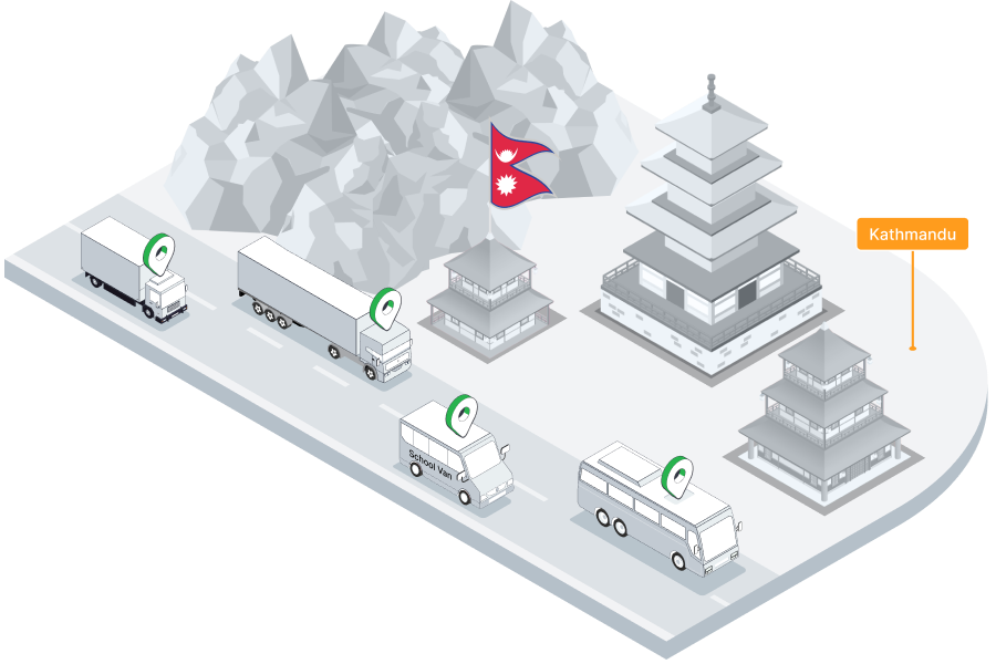
Real-time fleet management for Nepal's logistics operators, passenger transport businesses, tourism vehicles, and construction fleets across Kathmandu, Pokhara, and the Terai corridor.

GPS Fleet Tracking in Nepal

Nepal is a landlocked Himalayan nation connecting South Asia's two largest economies — India and China. While the country's geography is famously dramatic, Nepal's transport sector is vital: the Terai lowland corridor along the Indian border carries the vast majority of Nepal's import and export freight through customs points like Birgunj, Bhairahawa, and Biratnagar. Kathmandu Valley's rapidly growing vehicle fleet manages goods distribution across the capital and connects highland communities to the national supply chain.

Nepal's fleet operators work in some of the world's most demanding road environments — mountain highways with sharp bends and sheer drops, Terai transit routes, and increasingly busy urban roads in Kathmandu and Pokhara. From trekking support vehicles and tourism operators serving Nepal's thriving adventure tourism industry, to agricultural logistics in the Terai, construction fleets on hydropower and road projects, and school vans in Kathmandu's expanding suburbs, Tracksha delivers the GPS tracking and fleet management tools Nepali operators need.

GPS fleet tracking in Nepal

Fleet Challenges in Nepal

Understanding the unique operating environment helps us serve Nepal's fleet operators better.

Mountain Route Driver SafetyNepal's highway network traverses some of the world's most challenging terrain — the Prithvi Highway, Araniko Highway, and mid-hill routes require constant driver alertness. Tracksha's overspeed alerts and driver behaviour monitoring help fleet operators maintain safety on mountain roads.
Terai Border Corridor Freight TrackingMost of Nepal's import cargo enters via Indian border crossings at Birgunj, Bhairahawa, and Biratnagar. Tracksha's Places (POI) feature tracks vehicle arrivals at customs points and transit depots, logging dwell times and generating corridor compliance reports.
Kathmandu Valley Traffic CongestionKathmandu's narrow road network and rapid vehicle growth create daily congestion. Tracksha's trip analytics help FMCG and distribution fleet managers track delivery performance and identify optimal route windows.
Tourism Vehicle Safety & LiabilityNepal's trekking and tourism operators are responsible for the safety of vehicles carrying international visitors. Tracksha's speed monitoring, route tracking, and trip history support operator due diligence and provide documentation for insurance and regulatory purposes.
Fuel Management on Remote RoutesRemote highways and mountain routes have limited fuel availability, making consumption monitoring critical. Tracksha's fuel analytics help fleet managers plan fuel stops and identify unusual consumption that may indicate device issues or pilferage.
Earthquake & Disaster Response VisibilityNepal's seismic risk means that emergency and disaster-response logistics are a real operational consideration. Tracksha's live vehicle tracking gives relief coordination teams real-time visibility of vehicle positions when rapid response matters most.

How Tracksha Supports Nepal Fleet Operations

Real-time visibility, fuel control, and compliance tools built for the realities of operating in Nepal.

Mountain Route Live TrackingMonitor every vehicle on Nepal's mountain highways — Prithvi, Araniko, Tribhuvan — in real time. Overspeed alerts, driver behaviour monitoring, and panic alerts provide safety visibility on Nepal's most demanding road environments.
Terai Corridor POI TrackingDefine customs points, inland container depots, and freight terminals along Nepal's Terai border corridor as Places in Tracksha. Track vehicle arrivals, turnaround times, and daily corridor activity automatically.
Tourism & Trekking Vehicle ComplianceTrack tourism buses, jeeps, and trekking support vehicles live across Annapurna, Everest, and Chitwan routes. Trip history and driver behaviour reports provide the documentation tour operators need for safety compliance and insurance requirements.
School Van Safety in KathmanduTrack school vans and buses across Kathmandu Valley live. Geofence alerts notify parents and schools when vehicles arrive at school gates or home pickup zones — providing reassurance for Nepal's rapidly growing urban school transport sector.
Driver Safety Scoring on Difficult TerrainNepal's mountain routes demand precise, alert driving. Tracksha's driver behaviour scoring tracks speeding, harsh braking, and sharp cornering — helping fleet managers identify high-risk drivers and prioritise safety training.
Construction & Hydropower Project Fleet ControlNepal's active hydropower and road construction projects use large equipment and contractor vehicle fleets. Tracksha's geofencing and ignition monitoring provide site access control and generate project vehicle activity reports.

Industries We Serve in Nepal

Terai Freight & Border LogisticsTourism & Adventure TransportConstruction & Hydropower ProjectsSchool & Passenger TransportAgriculture & Terai Produce LogisticsFMCG & Consumer DistributionNGO & Development VehiclesHealthcare & Pharmaceutical Delivery

Why Nepali Fleet Operators Choose Tracksha

Beyond standard GPS tracking — Tracksha brings unique capabilities built for the real-world needs of fleet operators across industries and geographies.

Works with Any Compatible GPS DeviceTracksha is a software platform — not hardware. Connect any standard GPS tracking device from the market. No proprietary lock-in; use your existing devices or choose freely.
Places — POI-Based Service TrackingDefine service points on the map: dairy collection centres, waste bins, fuel stations, delivery stops, or farm check-in points. Track visit status live and generate collection reports automatically.
Farm Auto Area MeasurementAutomatically calculate the area covered by field vehicles — perfect for plantation operators, agricultural contractors, and dairy collection route management without manual measurement.
Waste Collection ManagementTrack dustbin and skip collection routes with POI-based status updates. Managers see at a glance which bins are collected, pending, or skipped — complete with detailed daily reports.
Easy-to-Use Mobile & Web InterfaceA clean, intuitive interface designed for fleet managers in the field and in the office. Full dashboard access from any Android, iOS, or browser — no training required.
Reliable, High-Performance PlatformTracksha is built for large fleet deployments with consistent server performance. Thousands of vehicles update in real time simultaneously without lag.
Continuously Growing Feature SetTracksha actively develops new capabilities for global fleet needs — industry-specific features, new report types, and custom integrations. Your feedback directly shapes the platform roadmap.

Frequently Asked Questions — Nepal

Common questions from fleet operators in Nepal.

Does Tracksha work on Nepal's mountain highways?

Yes. Tracksha tracks vehicles across Nepal's mountain and Terai road networks. Compatible GPS devices support multi-network SIM and offline data buffering — so location data is captured even in remote mountain areas and synced when connectivity is restored.

Can Tracksha be used for tourism vehicle tracking in Nepal?

Absolutely. Tourism operators use Tracksha to track buses, jeeps, and trekking support vehicles across Nepal's routes. Speed monitoring, geofencing, and trip history provide safety documentation for tour operators and insurance providers.

How does Tracksha help with Terai border corridor freight management?

Tracksha's Places (POI) feature lets you mark customs checkpoints, inland depots, and freight terminals along Nepal's border corridor. The platform tracks vehicle visits and dwell times automatically — giving logistics managers clear corridor performance data.

Is Tracksha suitable for tracking school vans in Kathmandu?

Yes. Tracksha tracks school vans live, with geofence alerts for school and home pickup zones. Parents and schools can monitor bus locations in real time and access full trip history for safety investigations.

Can Tracksha be used for construction project vehicles in Nepal?

Yes. Tracksha's geofencing and ignition monitoring are well suited for construction and hydropower project sites. You can track contractor vehicle access, receive after-hours alerts, and generate vehicle usage reports for project management.

What GPS devices work with Tracksha in Nepal?

Tracksha is a software platform compatible with a wide range of standard GPS devices available in Nepal and South Asia. Contact the Tracksha team to verify compatibility with your existing hardware.

Start Tracking Your Fleet in Nepal

Join fleet operators across Nepal who trust Tracksha for real-time GPS tracking, fuel monitoring, and driver safety.